
Before the day’s heat settles over the Gulf, the real motion is already happening overhead: the UAE has strengthened its space-intelligence network with three new satellites. The expansion is designed to deliver faster revisit times, richer imagery and more resilient coverage—turning raw observation into usable intelligence for environmental monitoring, crisis response and critical-infrastructure planning. It’s another signal that the country’s next competitive edge is not just building on the ground, but seeing it—continuously—from orbit.
The city is still half-asleep when the first screens light up.
A dim control room glow. A map. A thin line tracing an orbit like a pencil stroke across black paper. Someone leans in, coffee forgotten. “There,” an engineer murmurs, as if speaking too loudly might spook the satellite. Of course, nothing up there startles. It simply passes—steady, tireless—collecting the kind of detail most of us never notice until it matters.
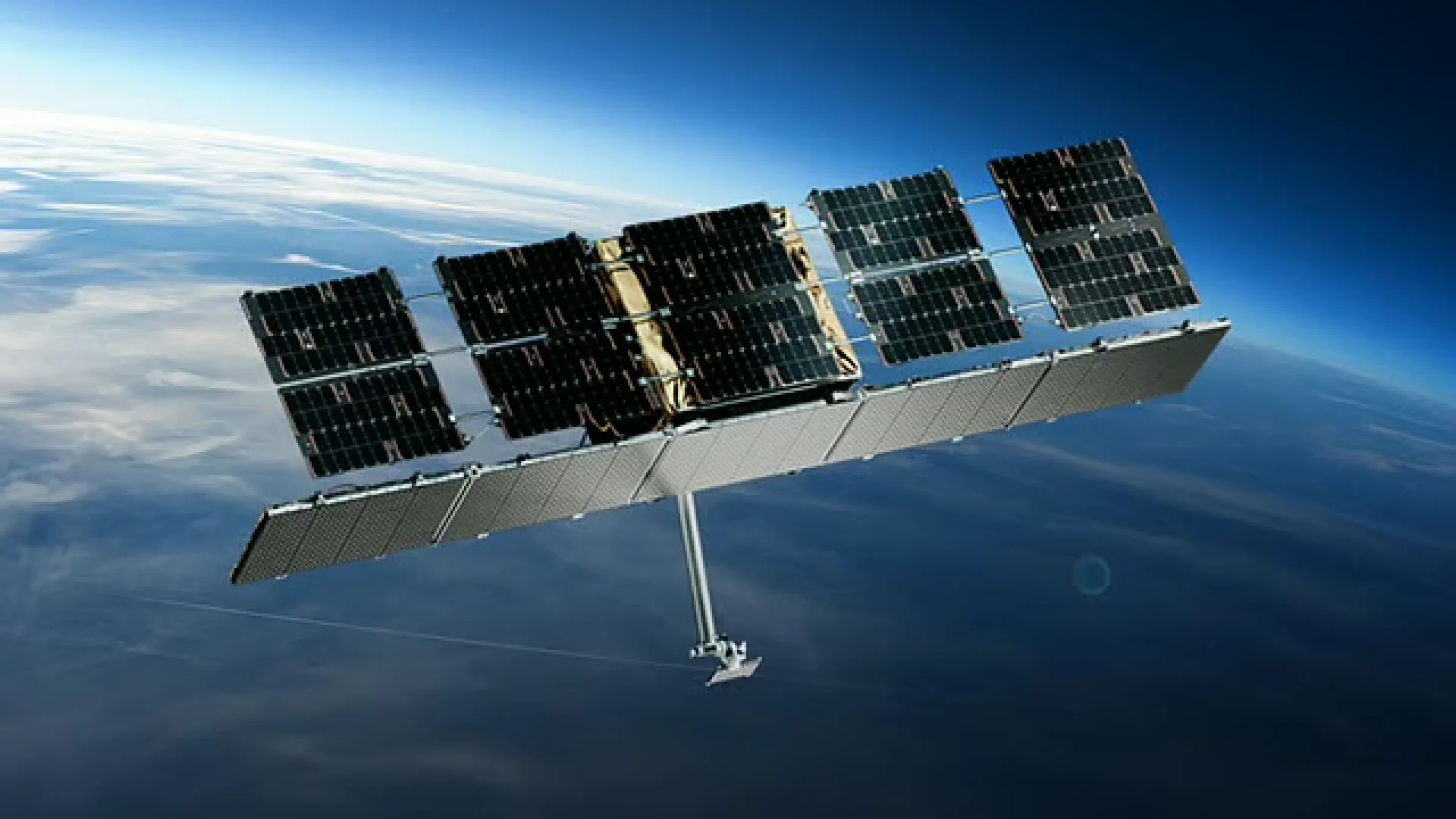
The UAE has added three new satellites to strengthen its growing space-intelligence network, widening and tightening a web of Earth-observation capability meant to deliver more timely, more precise information. Not the cinematic stuff—no dramatic countdown for the public. This is the quiet kind of national upgrade. The kind you feel later, when decisions arrive faster and with more confidence.
In Earth observation, speed isn’t about going faster in space. Satellites already move at orbital velocity. Speed is about revisit: how often you can look at the same place again. With three additional platforms feeding the system, the UAE’s coverage becomes denser—more frequent passes, more chances to capture changes as they happen, and more resilience if one sensor is temporarily unavailable.
That resilience matters. Weather windows close. Hardware needs calibration. Data pipelines can choke. A network is only as useful as its continuity—its ability to keep delivering when the world refuses to be neat. Adding satellites is, in many ways, adding reliability.
A satellite image can be beautiful, sure—the milky swirl of shallow waters, the sharp edge of a desert road, the geometric calm of a new district. But beauty isn’t the point. Intelligence is.
Space intelligence is what happens after the picture: the processing, the comparison, the alert that says something has shifted. A coastline that looks subtly different than last month. A patch of land whose texture suggests disturbance. An infrastructure corridor where development is accelerating. The new satellites expand the ability to detect these changes sooner and with greater confidence.
Few places compress contrasts like the Emirates. Glass towers rise, then—almost abruptly—sand and salt flats take over. The coast is engineered and protected. New neighborhoods appear with astonishing speed. Logistics routes and industrial zones evolve in real time. In a landscape that can transform quickly, the ability to watch consistently from above becomes more than a technological flex. It becomes a planning tool.
Think of a storm system pushing in, dust thickening the horizon. Think of a flood event somewhere remote, where access is limited and every hour counts. Or think of the slower emergencies: coastal erosion, heat-stressed vegetation, creeping land-use change. Satellites don’t replace boots on the ground, but they give the ground teams a head start—where to go, what to measure, what to prioritize.
Three satellites doesn’t sound like a revolution. In orbit, it can be. The difference between “we have a snapshot” and “we have a living feed” often comes down to a handful of additional passes. A network becomes more rhythmic, more dependable—less like a camera you pick up occasionally, more like a pulse you can track.
And that pulse feeds decision-making across government and industry. Environmental monitoring, infrastructure oversight, crisis management—these are not separate boxes in real life. They overlap on the same map. The same coastline. The same roads, ports and power lines. Space intelligence ties those layers together with consistent, comparable data.
For developers, investors and asset managers, denser Earth-observation coverage can translate into sharper risk awareness and better planning—especially in fast-changing urban and coastal environments.
It’s a simple idea with a big impact: when you can see change earlier, you can price risk better, plan smarter—and build with fewer surprises.